

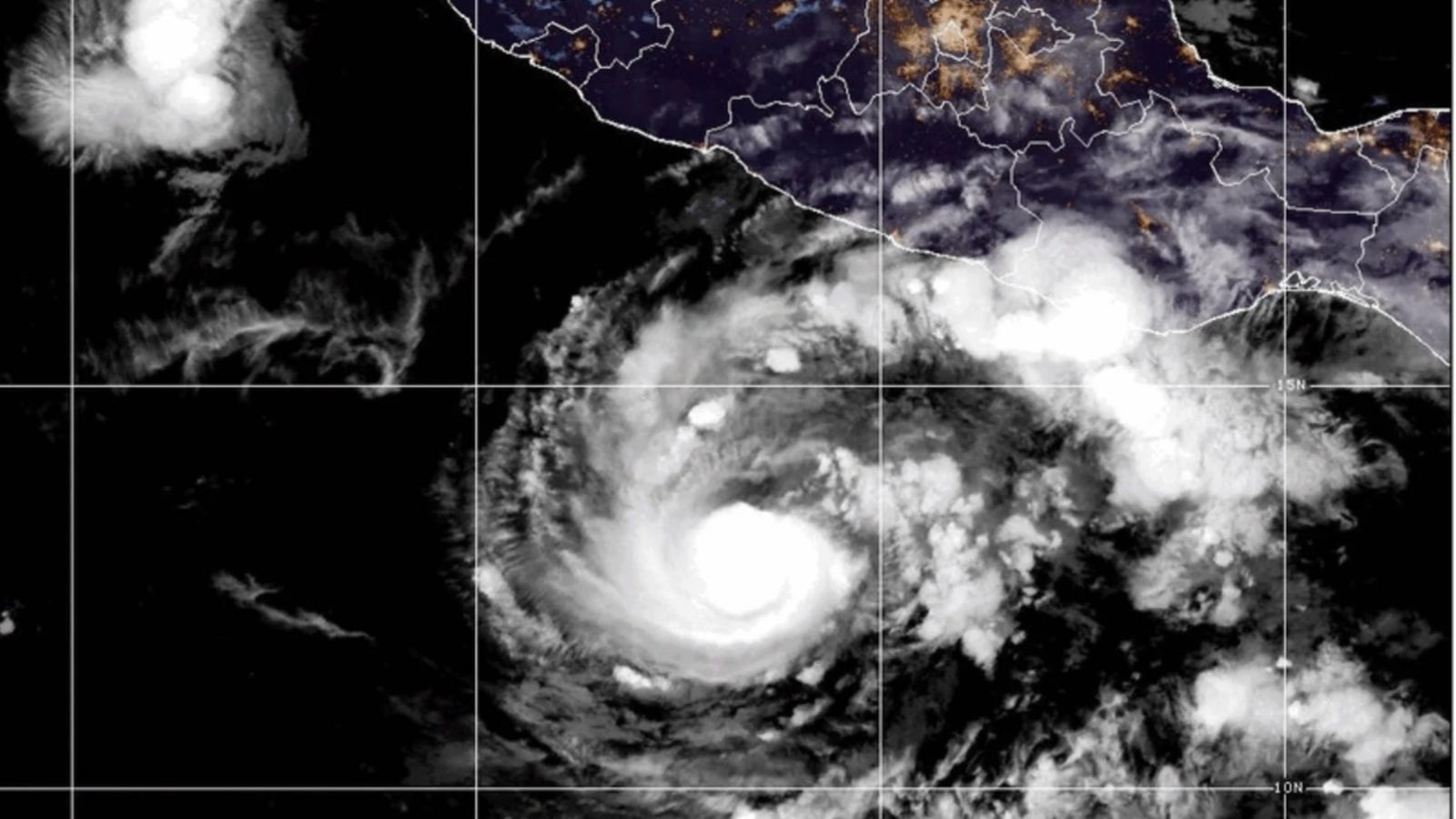
Hurricane Trudy began pulling away from mainland Mexico’s central Pacific coastline on Sunday, according to reports from the National Hurricane Center (NHC). While the system is shifting its trajectory, meteorologists caution that coastal communities will continue to face gusty winds and severe rainfall.
As of the NHC’s morning advisory, the eye of the Category 2 hurricane was centered approximately 105 miles southwest of Cabo Corrientes and roughly 165 miles west of Manzanillo. Trudy packed maximum sustained winds of 100 mph, tracking toward the northwest at a slow pace of 8 mph.
Warnings and Forecast Path
A tropical storm warning remains active for Las Islas Marías as well as mainland coastal stretches extending from Playa Pérula to San Blas.
Forecasters anticipate the center of the storm will continue pulling away from mainland Mexico before tracking south of Baja California Sur through Monday and Tuesday. Hurricane-force winds reach outward up to 30 miles from the system’s center, while tropical-storm-force winds extend up to 105 miles.
Threat of Floods and Mudslides
Despite its offshore movement, Trudy’s outer circulation poses serious risks for multiple southwestern states.
Jalisco Coastline: Expected to receive between 2 and 6 inches of rainfall, with isolated pockets reaching up to 12 inches. The NHC warned that these intense downpours could trigger life-threatening flash flooding and mudslides.
Colima and Nayarit: Forecast to see general accumulations of 1 to 2 inches, with isolated regional amounts topping 4 inches.
Local authorities and emergency management teams continue to urge residents across vulnerable low-lying and mountainous areas to monitor weather updates closely and heed local advisories.